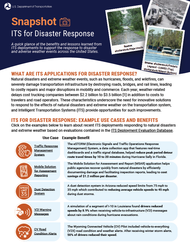
A quick glance at the benefits and lessons learned from ITS deployments to support the response to disaster and adverse weather events across the United States.
WHAT ARE ITS APPLICATIONS FOR DISASTER RESPONSE?
Natural disasters and extreme weather events, such as hurricanes, floods, and wildfires, can severely damage transportation infrastructure by destroying roads, bridges, and rail lines, leading to costly repairs and major disruptions in mobility and commerce. Each year, weather-related delays cost trucking companies between $2.2 billion to $3.5 billion [1] in addition to costs to travelers and road operators. These characteristics underscore the need for innovative solutions to respond to the effects of natural disasters and extreme weather on the transportation system, and Intelligent Transportation Systems (ITS) provide opportunities for such improvements.
ITS FOR DISASTER RESPONSE: EXAMPLE USE CASES AND BENEFITS
Click on the examples below to learn about recent ITS deployments responding to natural disasters and extreme weather based on evaluations contained in the ITS Deployment Evaluation Databases
| Use Case | Example Benefit | |
|---|---|---|
 | Traffic Response Management System | The eSTORM (Electronic Signals and Traffic Operations Response Management) System, a data collection app that features real-time dashboards and a traffic signal database, helped reduce peak period detour route travel times by 10 to 20 minutes during Hurricane Sally in Florida. |
 | Mobile Solution for Assessment Reporting | The Mobile Solution for Assessment and Report (MSAR) application helps public agencies recover quickly from natural disasters by efficiently documenting damage and facilitating inspection reports, leading to cost savings of $1.2 million per disaster. |
 | Dust Detection Systems | A dust detection system in Arizona reduced speed limits from 75 mph to 35 mph which contributed to reducing average vehicle speeds to 45 mph during dust storms. |
 | V2I Warning Messages | A simulation of a segment of I-10 in Louisiana found drivers reduced speeds by 8.9% when receiving vehicle-to-infrastructure (V2I) messages about rain conditions during hurricane evacuations. |
 | CV Road Condition Alerts | The Wyoming Connected Vehicle (CV) Pilot included vehicle-to-everything (V2X) road condition and weather alerts. After receiving winter storm alerts, 50% of drivers reduced their speed. |

Traffic Response Management System
PROBLEM
Extreme weather and natural disasters can damage roadways and bridges, scatter debris, and take traffic signals and other transportation systems offline, making restoration efforts extremely challenging.
TECHNOLOGY
The Florida Department of Transportation (FDOT) uses eSTORM, a traffic signal database and a mobile data collection app that provides updates and real-time dashboards supporting disaster response efforts.
BENEFITS
During Hurricane Sally in 2020, a response team using the eSTORM app reported infrastructure damage to a bridge on US Route 98, resulting in implementation of a detour route that reduced travel times during the AM and PM peak by 10 minutes and 20 minutes, respectively (2024-B01860).
| “As a result of the success of the eSTORM data collection app and dashboards, eSTORM is now a statewide storm management tool available in all FDOT districts [2].” |

Mobile Solution for Assessment Reporting
PROBLEM
Traditional methods for reporting infrastructure damage, such as survey and inspection reports, may delay emergency relief, restoration, and the reopening of roads and bridges after natural disasters.
TECHNOLOGY
The Federal Highway Administration’s (FHWA) MSAR app facilitates quick completion of detailed damage inspection reports in the field, including attaching photos of damage as well as pinpointing and storing the exact locations of damage on a map; this information is then instantly transmitted to FHWA emergency relief coordinators [3].
BENEFITS
| “Facilitates collaboration, standardization, and oversight of activities to ensure compliance with regulations [4].” |
A process that once took about 18 hours was shortened to approximately 20 minutes with MSAR, resulting in savings of $1.2 million per disaster. When TxDOT used MSAR after Hurricane Harvey in 2017, it saved an estimated 17,000 hours of staff time (2020-B01434).

Dust Detection System
PROBLEM
Dust storms severely impact the visibility of road users. The frequency and intensity of dust storms in southwestern United States often result in crashes and road closures.
TECHNOLOGY
The Arizona Department of Transportation’s (ADOT) dust detection system on I-10 between Tucson and Phoenix consists of dynamic message signs, variable speed limit signs, closed-circuit cameras, shortrange visibility sensors, and a long-range X-band radar dish for detecting blowing dust which can detect storms more than 40 miles away.
BENEFITS
| “The system has operated as designed since the start of the 2020 monsoon season and has activated during an estimated 50 blowing dust events [5].” |
When triggered by dust conditions, the dust detection system reduced the speed limit from 75 mph to 35 mph in the impacted area, contributing to the reduction of average vehicle speeds to 45 mph (2024-B01904).

V2I Warning Messages
PROBLEM
During hurricane evacuations, effectively communicating critical road condition information to drivers is challenging due to the chaotic nature of such evacuations and the urgent need for timely information delivery.
TECHNOLOGY
A driving simulator experiment with a hurricane evacuation scenario evaluated drivers' responses to V2I warning alerts transmitted to an invehicle display or audibly. The V2I messages included rain warnings, congestion warnings, and alternate route information.
BENEFITS
The average speed decreased from approximately 58.16 mph to 53 mph (an 8.9% reduction) after the rain warning message was provided. Over 80% of drivers participating in the experiment reported that the V2I and Vehicle-to-Vehicle (V2V) messages were either "extremely useful" or "useful" (2025-B01962).
| “Around 90% drivers complied with V2I rain warning, V2V potential crash warning and V2I alternate route information [6]” |

CV Road Condition Alerts
PROBLEM
Severe and hazardous weather can adversely impact the safety of commercial vehicle operations and negatively impact the supply chain. Awareness of severe and hazardous weather can mitigate these effects.
TECHNOLOGY
The Wyoming CV Pilot Deployment Program developed CV applications to reduce impacts of adverse weather on truck travel on I-80. A humanmachine interface shared critical transportation information, including inclement weather alerts, with drivers.
BENEFITS
| “focusing on improving safety and mobility by creating new ways to communicate road and travel information to commercial truck drivers and fleet managers [7].” |
After receiving a Winter Storm Alert, 50% of drivers reduced speed and 60% of drivers either reduced speed or stopped after receiving a High Wind Alert (2023-B01735).
DISASTER AND EXTREME WEATHER LESSONS LEARNED

| Emergency response and transportation agencies have used unmanned aerial
|

| The North Carolina Department of Transportation (NCDOT) and North Carolina
|

| The Weather-Responsive Management Strategies (WRMS) initiative of FHWA’s Every Day Counts program promotes use of road weather data from mobile and connected vehicle technologies to support traffic and maintenance management strategies during inclement weather. WRMS can mitigate impacts of flooding events through preparation and prediction efforts that build and leverage data, tools, and relationships. Key lessons learned from flood events include (2021-L01024):
|

| Lessons learned from the Dual Use Safety Technology (DUST) Warning System,
|
REFERENCES
FHWA Office of Operations. "How Do Weather Events Impact Roads?" Sep. 2024. [Online]. Available: https://ops.fhwa.dot.gov/weather/q1_roadimpact.htm.
National Operations Center of Excellence. "eSTORM." Dec. 2023. [Online]. Available:
https://transportationops.org/case-studies/estorm.Missouri Department of Transportation. "MSAR - Mobile Solution for Assessment and Reporting." Apr. 2020. [Online]. Available: https://www.modot.org/sites/default/files/documents/MSARMobileSolutionAssessmentReporting_COSM.pdf.
FHWA. "Mobile Solution for Assessment & Reporting (MSAR) Application." Oct. 2024. [Online]. Available: https://rosap.ntl.bts.gov/view/dot/77912.
Arizona Department of Transportation. "ADOT's dust detection and warning system ready for fifth monsoon." Jun. 2024. [Online]. Available: https://azdot.gov/news/adots-dust-detection-and-warning-system-ready-fifth-monsoon.
Hassan, H., Wolshon, B., and Sultana, T. “Vehicle to Infrastructure (V2I) and Vehicle to Vehicle (V2V) Passenger and Freight Vehicle Applications to Enhance Safety and Efficiency in Coastal Evacuations." Sep. 2023. [Online]. Available: https://rosap.ntl.bts.gov/view/dot/73819.
Garcia, V., Serulle, N. U., Kelarestaghi, K. B., Young, R., Gopalakrishna, D., English, T., Zumpf, S., Ahmed, M., McQueen, M., and Anderson, A. “Connected Vehicle Pilot Final System Performance Measurement and Evaluation – WYDOT Connect Vehicle Pilot.” Jul. 2022. [Online]. Available: https://rosap.ntl.bts.gov/view/dot/64854.


