ITS for Rural Areas
Introduction
Rural areas have unique transportation-related challenges. While encompassing 97 percent of the total land area in the United States (U.S.), just 19 percent of the nation’s population lives in rural areas [1]. Despite low populations, rural areas represent 68 percent of the total lane-miles of the transportation network and approximately 43 percent of all highway fatalities in the U.S. [1]. Additionally, 46% of all truck vehicle miles traveled occur in rural areas [2]. These characteristics underscore the need for innovative solutions, such as intelligent transportation systems (ITS) technologies, to improve rural transportation safety and efficiency.
The following map shows the vastness of U.S. rural areas, which are depicted in orange. The Census defines rural areas as all areas outside of metropolitan and micropolitan statistical areas.
Rural Areas in the U.S. |

Rural areas have unique characteristics that present transportation-related challenges, including:
- Rural populations are older – 17.5 percent of the rural population is comprised of Americans 65 years and older, compared to 13.8 percent in non-rural areas [3]. This aging population is typically very reliant on private vehicles for transportation.
- Rural areas have more poverty – According to the U.S. Department of Agriculture 2020 nonmetro poverty rate was 15.4 percent compared to 11.9 percent in metro counties [4]. Availability of cheap, reliable transportation is a major issue for low-income populations in rural areas.
- Rural employment is dominated by industries requiring manual labor - these include agriculture, mining, construction, and manufacturing [5]. The nature of these industries generally requires employees to work in-person, necessitating travel from where employees live to where they work. Many of these sectors also rely on shift workers, so drivers are on the road at night or in the early hours.
- Rural families travel farther for health care services. Rural residents travel an average of 17.8 miles compared to an average of 8.1 miles for urban residents. Rural residents, on average, travel 120 percent more miles per trip for care than urban residents. Furthermore, 16.7 percent of rural residents traveled more than 30 miles for health care services, compared to only 3.7 percent of urban residents [6].
The condition of our nation’s transportation infrastructure can have disproportionate adverse impacts on rural areas. Rural bridges that are closed or posted due to weight restrictions require rural travelers to make detours nearly twice as long as those necessitated by their urban counterparts [1].
Challenges like these require strategic approaches to improving conditions for travelers on rural roads. ITS solutions can address rural transportation challenges and often do so at a fraction of the cost of making major infrastructure changes. This data story explains the safety issues, presents rural roadway crash trends, describes how use of ITS in rural areas differs from urban areas based on the results of the 2023 ITS Deployment Tracking Survey, and provides real-life examples with benefits and costs of ITS for addressing rural transportation.
Rural Roadway Crash Trends
According to the National Highway Traffic Safety Administration (NHTSA) Fatality Analysis Reporting System (FARS) there were 36,297 traffic crashes involving fatalities, and 14,442 of these fatal crashes occurred in rural areas in the U.S. in 2024 [7].
The following map illustrates fatal crashes that occurred in rural areas in 2024. FARS provides yearly data on fatalities and injuries suffered in motor vehicle traffic crashes [7]. For 2024, each fatal rural crash is plotted on the map below. The color of each point corresponds to the road classification (i.e. type of road) the crash occurred on. Hover over each point to reveal specific location and crash information.
2024 Rural Fatal Roadway Crashes in the U.S. |
Source: Fatality Analysis Reporting System (FARS). Data pulled June 2026. |
Certain types of crashes are more prevalent in rural areas or occur at a disproportionate rate in rural areas. Roadway departures occur when a vehicle in the crash crosses an edge line, a centerline, or leaves the traveled way. In crashes in rural communities, about 55 percent of fatalities involved a roadway departure compared to 45 percent in urban areas in 2024 [7, 8]. A roadway departure may occur due to:
- Speeding while approaching sharp curves
- Trying to navigate roads during various weather or road conditions
- Nighttime visibility issues
Other specific safety challenges disproportionately faced by rural communities include:
- Greater proportion of travel on roads with higher travel speeds
- A lack of infrastructure to protect pedestrians and transit users, such as sidewalks, crosswalks, and protected bus shelters
- Adverse weather conditions that can impact visibility, road conditions, and introduce debris
- Increased interactions with wildlife compared to urban or suburban areas
- Freight safety concerns, including runaway trucks and cargo spills or leakage
These challenges lead to negative safety outcomes. Rural roadways also have higher risks associated with distracted or risky driving behaviors, which compound the above challenges to increase the incidence and severity of crashes.
Rural Roadway Fatality Trends
Looking at annual trends in rural roadway fatalities can provide a long-term perspective on how they have changed over time.
FARS collects data on whether a traffic fatality occurs in a rural or urban area. The chart below illustrates the number of fatalities in rural and urban settings.
Roadway Fatalities by Area Type Source: Fatality Analysis Reporting System (FARS). Data pulled June 2026. | FARS data indicate that overall rural fatalities were gradually trending downward from 2008 2020, before increasing slightly in 2021 and 2022. The share of fatalities occurring in rural areas generally trended downwards throughout the same period. In 2008, 56 percent of roadway fatalities were classified as occurring in rural areas. In 2024, the percentage of roadway fatalities classified in rural areas dropped to 41 percent. |
2023 ITS Deployment Tracking Survey
The ITS Deployment Tracking Survey, conducted approximately every three years, measures the deployment of ITS among freeway, arterial, and transit management agencies across the U.S. With the most recent 2023 ITS Deployment Tracking Survey, a new methodology was implemented, which greatly expanded the geographic coverage to include smaller urban and rural areas. The change in methodology reflects a need to (1) obtain a better understanding of ITS deployment nationwide and (2) obtain ITS deployment information from communities of all sizes, not just from large metropolitan areas.
Key Findings from the Freeway Management Survey
The Freeway Management Survey was administered to: 1) State Department of Transportation (DOT) districts managing freeways and 2) toll authorities in both rural and urban areas. Highlights from the findings of the Freeway Management Survey are summarized below.
Freeway Agencies' ITS System Adoption | The chart to the left shows ITS safety systems adoption by freeway agencies. Significantly higher percentages of State DOT districts with a large urban area (at least one municipality with 100,000 or more people or one county with 950,000 or more people) deploy these technologies versus those without a large urban area (municipalities with fewer than 100,000 people or all counties have fewer than 950,000 people). These technologies include dynamic curve warning systems (29 percent compared to 18 percent), over-height warning systems (34 percent compared to 17 percent), reference location signs (15 percent compared to 6 percent), and wrong way driving detection systems (45 percent compared to 25 percent). State DOT districts without a large urban area were more likely to report no ITS safety systems are deployed compared to those with a large urban area (24 percent compared to 14 percent). |
Freeway Agencies' ITS Technology Deployment by Type of Region To switch between viewing adoption rates for groups of ITS technologies and individual ITS technologies, click on the two tabs at the top labeled "Groups of ITS Technologies" and "Individual ITS Technologies. Source: 2023 ITS Deployment Tracking Survey Key Findings. * indicates statistical significance | This chart shows the different types of ITS technologies deployed by freeway agencies in districts both with and without large urban areas. While nearly all State DOT districts – including those with and without a large urban area – are using at least one method to disseminate real time traveler information, the survey found that State DOT districts with a large urban area are significantly more likely than State DOT districts without a large urban area to use third-party mobile applications (60 percent versus 47 percent). State DOT districts with a large urban area are also significantly more likely than State DOT districts without a large urban area to deploy freeway entrance ramp metering (37 percent compared to eight percent). |
In addition, about one fourth (24 percent) of State DOT districts with a large urban area are developing, testing, or deploying connected vehicle (CV) technologies, which is significantly higher than the eight percent of State DOT districts without a large urban area that are doing so.
State DOT districts with a large urban area are also significantly more likely to deploy Integrated Corridor Management (ICM) compared to State DOT districts without a large urban area (27 percent compared to 16 percent).
Findings from the Arterial Management Survey
The Arterial Management Survey was administered to: 1) State DOT districts managing arterial roads and 2) local arterial management agencies in large metropolitan and smaller urban and rural areas. Highlights from the findings of the Arterial Management Survey are summarized below.
Local Arterial Management Agencies' ITS Technology Deployment by Type of Region Source: 2023 ITS Deployment Tracking Survey Key Findings. * indicates statistical significance | This chart highlights the types of ITS technologies deployed by arterial agencies in large metropolitan, smaller urban, and rural areas. Local arterial management agencies in large metropolitan areas are significantly more likely than those in smaller urban and rural areas to deploy one or more of the following key ITS technologies.
Relatively few local arterial management agencies deploy road weather ITS, which include technologies such as Road Weather Information Systems (RWIS) and Environmental Sensing Stations (ESS). Additionally, few rural deployers utilize work zone ITS technologies. There were no significant differences by area type in the deployment of these types of ITS. |
Local Arterial Agency Real Time Traveler Information (RTI) ITS Deployment by Type of Region | The Arterial Management Survey results reported findings on use of real-time traveler information (RTI) by local agencies in large metropolitan, small metropolitan, micropolitan, and rural areas.
|
Key Findings from the Transit Management Survey
The 2023 Transit Management Survey was administered to a random sample of transit agencies from large urban, small urban, and rural areas nationwide. The minimum fleet size for rural agencies in the survey was 10 or more vehicles operating in maximum service. Across all transit agencies, the most widely deployed ITS are automatic vehicle location (AVL), computer-aided dispatch and scheduling (CADS), and mobile data terminals (MDTs), though deployment rates vary by area type. Transit agencies in large urban areas are significantly more likely than agencies in either small urban or rural areas to deploy APC, MMS, and TSP. In addition, transit management agencies in large urban areas are significantly more likely than those in rural areas to deploy MDT. For AVL and CADS, there were no statistically significant differences in deployment by geographic area type; these technologies are widely used across urban and rural contexts. |
Technology Adoption by Transit Agencies |
Case Studies
Deployments on rural roadways by the Vermont Department of Transportation (VTrans) and the Georgia Department of Transportation (GDOT) demonstrate how ITS applied in the real world can lead to quantifiable benefits in addressing major challenges in rural areas.
Rapid Rectangular Flashing Beacon (RRFB) Installation, VTrans
A study done at intersections in rural Vermont by VTrans considered the effect of RRFBs on pedestrian and driver yielding to determine effective roadway treatments for improving safety. RRFBs consist of a pair of pushbutton-activated beacons supplementing signs at a marked crosswalk and require power through a hard-wired connection or solar assembly.
The state calculated odds ratios, which measure the probability of an event (driver and/or pedestrian compliance) occurring in the exposed group (with RRFBs activated) to the non-exposed group (without RRFBs activated), to understand how strongly the RRFBs were associated with changes in behavior. The study found that the odds ratios for driver-level yielding improved significantly when RRFBs were activated, increasing from 1.03 to 2.59. Pedestrians also were less likely to cross outside of the crosswalks when RRFBs were activated, with those odds ratios declining from 0.76 to 0.04. You can learn more about this case study in the Benefits, Costs and Lessons Learned Database. |
Rectangular Rapid Flashing Beacon (RRFB) Effect in Specific Scenarios |
GDOT Cloud-Based Emergency Location App
In 2020, GDOT conducted a 3-month pilot program using cloud-based emergency call-taking app. The app allowed traffic operations and emergency centers to quickly locate and continuously communicate with motorists with the use of its cell phone geo locate, chat, and video features. The study found that exclusive use of the new app resulted in stranded motorists being found within 3 minutes. This compared to other methods, which each took 23 minutes to find stranded motorists. You can learn more about this case study in the Benefits, Costs and Lessons Learned Database. |
Time to Locate Motorists Based on Procedures Used |
Both of these case studies illustrate the power of ITS technologies to address critical issues facing travelers in rural areas.
ITS Benefits
Benefits of ITS deployments are recorded and stored in the ITS Benefits database, part of the larger Benefits, Costs, and Lessons Learned (BCLL) databases maintained by the ITS JPO. The ITS Benefits database contains records on the benefits of ITS according to goals identified by the U.S. Department of Transportation, such as safety, mobility, efficiency, productivity, and customer satisfaction.
The following examples of rural ITS benefits are among the many ITS Benefits located in the Benefits section of the Benefits, Costs, and Lessons Learned (BCLL) database.
ITS Costs - Technologies in Rural Areas
Costs of ITS rural deployments are recorded and stored in the ITS Costs database, part of the larger BCLL databases maintained by the ITS JPO. A few examples of the costs related to ITS deployments in rural areas are highlighted below.
Advanced queue detection (AQD) systems installed at four work zones in Nebraska in 2020 and 2021 were estimated to cost $166,225 per work zone for a 6-month project in rural areas along I-80. The typical AQD system includes one Closed Circuit Television (CCTV) camera, three non-intrusive sensors, and two pairs (total of four) of portable dynamic message signs (2023-SC00549). A breakdown of each component of this AQD system is shown in the chart to the right. In 2014 in Idaho, a doppler radar-based animal detection system with continuous coverage is estimated to cost about $60,000 per 250 meters (820 feet) and requires replacement every 10 years. The system requires regular maintenance and calibration, costing an additional $3,000 per 250 meters annually (2021-SC00486). DADs help motorists at driveways join vehicle queues traveling in the same direction in a work zone. In Ohio in 2022, capital costs for deploying DADs in one-lane, two-way work zones were estimated to be $16,200 and maintenance costs were estimated to be $4,500, for a combined estimated cost of $20,700 during a nine-month construction period (2023-SC00538). In Vermont, VTrans deployed RRFBs to enhance the visibility of uncontrolled marked crosswalks. Typical cost per crosswalk was $10,000 (2024-SC00554). | Advanced Queue Detection (AQD) System Cost Cost data adjusted to 2020 dollars. |
U.S. DOT Rural ITS Initiatives and Resources
U.S. DOT has undertaken a number of efforts to target ITS implementation in rural areas. These include the Rural Opportunities to Use Transportation for Economic Success (ROUTES) initiative and the Rural ITS Toolkit. These programs and resources are highlighted below.
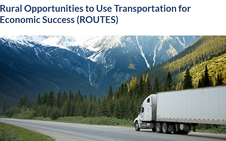
ROUTES Initiative
The Rural Opportunities to Use Transportation for Economic Success, or ROUTES, program aims to address transportation disparities in rural and tribal communities by developing user-friendly tools and information, aggregating DOT resources, and providing direct technical assistance to better connect rural communities with the funding, financing, and outreach resources available. To learn more about ROUTES, visit: https://www.transportation.gov/rural |
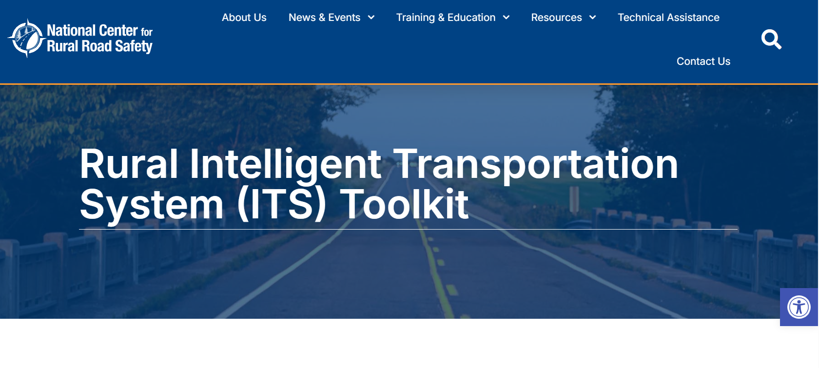
Rural ITS Toolkit
The Rural Intelligent Transportation Systems (ITS) Toolkit is helpful for identifying ITS strategies and solutions to common challenges in rural areas, such as crash countermeasures or surface transportation and weather. The toolkit includes fact sheets, best practices, lessons learned, and guidance on deploying ITS to solve the identified challenges. To access the toolkit, visit https://ruralsafetycenter.org/rural-intelligent-transportation-system-its-toolkit/. |
References
Bureau of Transportation Statistics, "Rural Transportation Statistics," 2025. [Online]. Available: https://www.bts.gov/rural.
U. S. Department of Transportation, "The Critical Role of Rural Communities in the U.S. Transportation System." 2022. [Online]. Available: https://www.transportation.gov/rural/grant-toolkit/critical-role-rural-communities
A. Smith and E. Trevelyan, "In Some States, More Than Half of Older Residents Live In Rural Areas," United States Census Bureau, 22 October 2019. [Online]. Available: https://www.census.gov/library/stories/2019/10/older-population-in-rural-america.html.
U. S. Department of Agriculture, Economic Research Service, "Rural Poverty & Well-Being," 15 November 2023. [Online]. Available: https://primary.ers.usda.gov/topics/rural-economy-population/rural-poverty-well-being/.
T. Farrigan, B. Genetin, A. Sanders, J. Pender, K. L. Thomas, R. Winkler, and J. Cromartie, "Rural America at a Glance," U. S. Department of Agriculture, Economic Research Service, 2024. [Online]. Available: https://www.ers.usda.gov/publications/pub-details?pubid=110350.
M. Akinlotan, P. Kristin, N. Khodakarami, J. Bolin and A. O. Ferdinand, "Rural-Urban Variations in Travel Burdens for Care: Findings from the 2017 National Household Travel Survey," Southwest Rural Health Research Center, July 2021. [Online]. Available: https://oaktrust.library.tamu.edu/items/78c50a83-fa52-4d8b-8911-0f0d775d2039.
National Highway Traffic Safety Administration, "Fatality and Injury Reporting System," [Online]. Available: https://www-fars.nhtsa.dot.gov/Main/index.aspx
National Highway Traffic Safety Administration, "Rural/Urban Comparison of Motor Vehicle Traffic Fatalities," May 2024. [Online]. Available: https://crashstats.nhtsa.dot.gov/Api/Public/ViewPublication/813488.